.png)

Site Complex
Our solutions help – supporting conservation, restoration, and cultural tourism through accurate digital records.

Using non-invasive technologies such as
3D Laser Scanning, Aerial Surveys, and Ground-Penetrating Radar, we deliver accurate as-built documentation that supports structural assessment and restoration planning.
With extensive experience, we accurately document and assess heritage sites while preserving historical integrity, structural accuracy, and minimizing impact on culturally sensitive environments for generations to come.


AS-BUILT DOCUMENTATION
OUR CLIENTS


OUR PROJECTS
Produce accurate 3D models, making it easier for architects and engineers to create perspective views and diagrams for these structures. Produce accurate 3D models, making it easier for architects and engineers to create perspective.

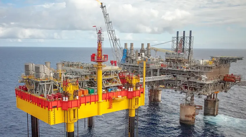
Applications for Industrial
and Plant Facilities
SCAN-TO-BIM
FOR INDUSTRIAL FACILITY
DIMENSIONAL SURVEY
Produce accurate 3D models, making it easier for architects and engineers to create perspective views and diagrams for these structures.


Following the capture of your facility using our 3D Laser Scanners, the final CAD drawings and a Building Information Model (BIM) can be used within an asset management platform (ARCHIBUS) which allows linking of relevant information into a single user interface/dashboard. This asset in as BIM can be used for managing your facilities with functions for preventive maintenance, space planning, work order management, and energy utilization.
Similarly, the 360 photographs automatically captured by our Laser Scanners can serve as an interactive virtual walkthrough of your facility, saving time and cost associated with having to physically visit the site.
Users of the platform can take virtual measurements, attach relevant documents, make annotations, and share all this information online across multiple offices or departments.


